An expanse of ice may seem like the end of a map and the beginning of a promise. Antarctica collects images of isolation, difficult accesses and hidden landscapes. Alternative hypotheses also take shape on this threshold: a dome that would delimit the world, lands beyond an ice barrier, territories that would remain subtracted from common knowledge.
We can keep these questions in the field of inquiry without assuming they are already answered. The first step is to distinguish a symbolic image from a physical model and the account of an observation. Each requires a different way of being questioned.
A theory must explain what it claims
The word Dome can indicate a limit of perception, a condition of cultural closure or a material structure. In the first case he opens a reflection on consciousness; in the last he proposes a hypothesis on the physical world. Switching from one meaning to another without declaring it makes it difficult to understand what statement we are discussing.
The same goes for lands beyond the ice. Comparable coordinates, paths, tools, and materials are needed to assess their existence. A navigational account can become a track, but it is necessary to be able to reconstruct who has observed, where and under what conditions. The conviction of a narrator is a datum of testimony, not a measure of territory.
This demand for precision leaves room for curiosity. A theory becomes more interesting when it lays out its own predictions and allows one to recognize what observations might contradict it. If each result is interpreted as confirmation, the search loses the chance to learn.
Under the ice there is a measured geography
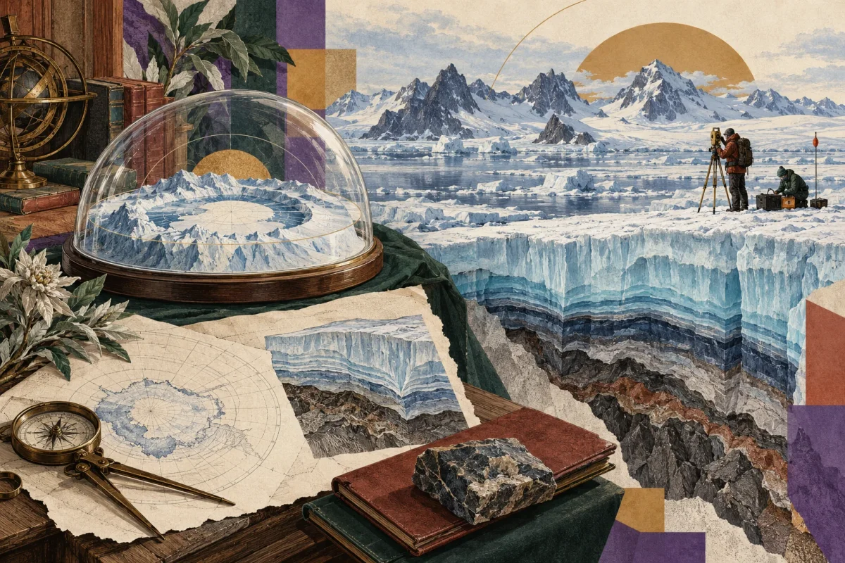
In 2025 the British Antarctic Survey presented Bedmap3, a reconstruction of the Antarctic topography obtained by integrating decades of surveys. The project combines data collected through different campaigns and tools to describe ice thickness and underlying reliefs. It reveals a complex geography of mountains, basins and canyons, along with revisions from previous maps. British Antarctic Survey, Bedmap3 presentation.
The ability to correct a map is an important element. It shows that knowledge can change when new data or a different interpretation of it arrives. This openness does not make all explanations equivalent: a proposal has yet to confront the observations it seeks to replace or supplement.
Bedmap3 concerns an ice-covered land surface. It does not document a dome, nor the existence of the lands described by alternative hypotheses. However, it offers a concrete ground on which to ask questions, learn about methods and also recognize the areas of greatest uncertainty.
Access, cooperation and imagination
The institutional framework should also be read in its terms. The Antarctic Treaty system provides for freedom of scientific inquiry and cooperation; it also provides for inspections by observers designated by the competent parties. These rights between states do not amount to the possibility for any visitor to access anywhere without conditions. Treaty Secretariat, Peaceful Use and Inspections.
The difficulty of a journey, alone, does not prove that a territory hides what we imagine. It can, however, stimulate a legitimate question about data transparency, how research is conducted and the public's ability to understand it.
Antarctica thus retains a cultural force: it puts us ahead of the distance between direct experience and mediated knowledge. We may wish to cross that border and ask for better tools to do so. The unknown remains an invitation to seek when we are willing to preserve together wonder, documents and the possibility of correcting our first image of the world.